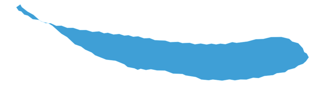
 O.H. IVIE RESERVOIRMAP & DEPTH
Switch Lake
CHOOSE A LAKEO.H. Ivie Reservoir
B. Everett Jordan LakeNorth Carolina→Clear LakeCalifornia→Lake BowenSouth Carolina→Lake ForkTexas→Lake GreenwoodSouth Carolina→Lake GuntersvilleAlabama / Tennessee→Lake HartwellGeorgia / South Carolina→Lake JocasseeSouth Carolina→Lake KeoweeSouth Carolina→Lake LanierGeorgia→Lake MonticelloSouth Carolina→Lake MoultrieSouth Carolina→Lake MurraySouth Carolina→Lake NormanNorth Carolina→O.H. Ivie ReservoirTexas✓Orange LakeFlorida→Sam Rayburn ReservoirTexas→
More lakes and lake guides are coming soon.
Official Water LevelOpen CRMWD's official lake-level page for the latest O.H. Ivie elevation and storage. Lake Monkey preserves the verified Oct. 11 snapshot separately and remains link-only until a freshness-gated live adapter is approved.
TPWD O.H. Ivie LakeOfficial dimensions, fishery, cover, zebra-mussel advisory and lake-specific regulation gateway.
CRMWD O.H. Ivie ReservoirOfficial capacity, surface area, shoreline and conservation-elevation facts used for the reservoir fact set and derived control-pool mean depth.
USGS 08136600Authoritative reservoir monitoring-location metadata and datum notes.
TPWD O.H. Ivie AccessOfficial Concho, Padgitt and Kennedy public-recreation-area access information.
Use current navigation charts, markers and boating aids while on the water.