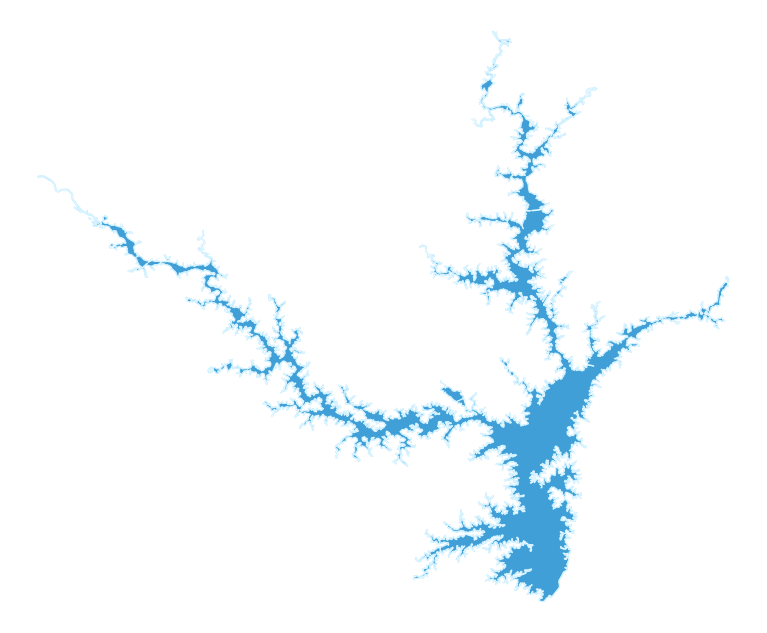
 LAKE HARTWELLMAP & DEPTH
Switch Lake
CHOOSE A LAKELake Hartwell
B. Everett Jordan LakeNorth Carolina→Clear LakeCalifornia→Lake BowenSouth Carolina→Lake ForkTexas→Lake GreenwoodSouth Carolina→Lake GuntersvilleAlabama / Tennessee→Lake HartwellGeorgia / South Carolina✓Lake JocasseeSouth Carolina→Lake KeoweeSouth Carolina→Lake LanierGeorgia→Lake MonticelloSouth Carolina→Lake MoultrieSouth Carolina→Lake MurraySouth Carolina→Lake NormanNorth Carolina→O.H. Ivie ReservoirTexas→Orange LakeFlorida→Sam Rayburn ReservoirTexas→
More lakes and lake guides are coming soon.
Lake Level
LIVE USACELoading the official gauge observation…
USACE TEMPORARY OPERATING RESTRICTION · AUG. 26, 2026656 ft year-round operating target
USACE lowered Hartwell's operating guide curve to 656 feet MSL year-round and will manage the lake below a 662-foot MSL maximum while a long-term solution is developed for seepage deterioration at the Clemson Lower Diversion Dam Saddle Dike.
USACE states there is no immediate danger to the public and that the restriction is an interim risk-reduction measure.
Read the current USACE restriction details ↗USACE Hartwell Brochures & MapsOfficial Hartwell lake, navigation, campground and recreation-area maps.
Garmin / Navionics Chart ViewerInteractive marine and inland-lake chart viewer.
USACE Hartwell Hydrologic Data & LevelsOfficial U.S. Army Corps of Engineers lake-level resources for Hartwell.
Use current navigation charts, markers and boating aids while on the water.