 LAKE FORKMAP & DEPTH
Switch Lake
CHOOSE A LAKELake Fork
B. Everett Jordan LakeNorth Carolina→Clear LakeCalifornia→Lake BowenSouth Carolina→Lake ForkTexas✓Lake GreenwoodSouth Carolina→Lake GuntersvilleAlabama / Tennessee→Lake HartwellGeorgia / South Carolina→Lake JocasseeSouth Carolina→Lake KeoweeSouth Carolina→Lake LanierGeorgia→Lake MonticelloSouth Carolina→Lake MoultrieSouth Carolina→Lake MurraySouth Carolina→Lake NormanNorth Carolina→O.H. Ivie ReservoirTexas→Orange LakeFlorida→Sam Rayburn ReservoirTexas→
More lakes and lake guides are coming soon.
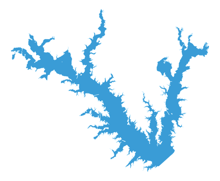
TWDB official Lake Fork 5-foot contour mapOpen the Texas Water Development Board's October 2009 hydrographic contour map. Lake Monkey's rejected custom bathymetry derivative is intentionally not shown.
Official Water LevelOpen the official source for the current Lake Fork water level.
TPWD Lake Fork profileOfficial lake facts, fishery, habitat, maps and access gateway.
TWDB Lake Fork 2009-10 hydrographic surveyOfficial reservoir survey source used to derive the Lake Monkey shoreline overview. Not a navigation chart.
Lake Monkey's Lake Fork graphic is a shoreline orientation overview, not a depth or navigation chart. Use the linked official TWDB contour map and current markers and boating aids on the water.